Home > Uganda > National Parks > Semuliki Valley National Park
Size: 220km²
Semuliki National Park sprawls across the floor of the Semliki Valley on the remote, western side of the Rwenzori. The park is dominated by the easternmost extension of the great Ituri Forest of the Congo Basin. This is one of Africa’s most ancient and bio-diverse forests; one of the few to survive the last ice age, 12-18,000 years ago.
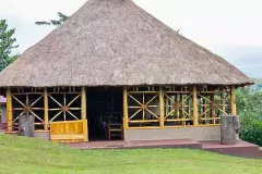
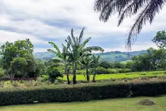
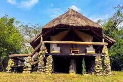
The Semuliki Valley contains numerous features associated with central rather than eastern Africa. Thatched huts are shaded by West African oil palms; the Semliki River (which forms the international boundary) is a miniature version of the Congo River, the forest is home to numerous Central African wildlife species, and the local population includes a Batwa pygmy community that originated from the Ituri. As a result, this park provides a taste of Central Africa without having to leave Uganda.
While Semuliki’s species have been accumulating for over 25,000 years, the park contains evidence of even older processes. Hot springs bubble up from the depths to demonstrate the powerful subterranean forces that have been shaping the rift valley during the last 14 million years.
-
1. Sempaya Hot Springs.
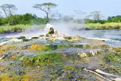
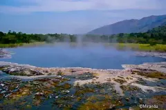
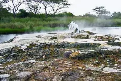
The Sempaya Hot Springs are Semuliki’s most famous attraction. The “male” spring, known as Bintente, measures 12m in diameter and is set in a lush swampy clearing. The “female” spring Nyasimbi, meaning "the female ancestors”, is a boiling geyser (103°C) which spurts bubbling water and steam up to two meters high - the steam cloud can be seen from as far as 2km away. Local people used to cook their food in these boiling pools.
-
2. Sempaya – Ntandi Road
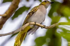
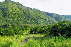
This 6km section of public road runs through one of the loveliest tracts of forest in Uganda and provides views of birds and monkeys high up in the forest canopy. Birding walks take place in Sempaya, as well as night hikes deep into the forest. In Ntandi, local Batwa dancers put on traditional performances for visitors.Another local attraction is the Mungiro Falls near the hot springs.
-
3. Semuliki River.
The 160km long Semliki River carries runoff from the Rwenzori Mountains to Lake Albert and the Nile, proving ancient geographers’ claims that the Nile flows (in part anyway) from a snow-capped mountain in the heart of Africa. Broad, muddy, forest fringed and home to hippos and crocodiles, the Semliki is a miniature version of the Congo River. Visitors can watch the river meander across the rift valley floor from roadside viewpoints and hike through the forest to its bird-rich banks.
-
4. Volcano hiking.
Volcano hiking is among the top thighs to do and see in Mgahinga national park, travelers can take part in hiking the three of the volcano mountains of Muhavura, Mgahinga and Sabinyo. Hiking any of the tree mountains will require one to three days for full hike.
-
5. Toro-Semuliki Wildlife Reserve.
In Uganda’s oldest reserve, tropical rainforest meets grassy savanna and the flat plains are punctuated by deep river valleys. The unique geography is reflected in the diversity of wildlife, which includes the forest mammals of Central Africa, key East African species and a variety of birdlife. Chimp tracking commences here.

